December gained 4.5% for the month. Moisture viewed as helping boll-filling process in the West Texas Plains, but a weekend cold snap slowed crop maturity.
Cotton futures extended a string of higher closes to five in a row Monday as December settled at a new high finish since Aug. 20.
Benchmark December closed up 58 points to 87.21 cents, around the upper third of its 87-point range from unchanged at 86.63 cents up to 87.50 cents. March settled up 64 points to 86.98 cents.
December gained 372 points or 4.5% for the month and 203 points or 2.4% for the quarter. It at the dayΆs high got within 42 points of a 50% retracement (87.92) of the move from the Aug. 16 high of 93.72 to the Sept. 5 low of 82.11. ThereΆs a chart gap between the Aug. 21 high of 88.65 and the Aug. 22 low of 88.86.
Volume slowed to an estimated 17,200 lots from 24,346 lots the previous session when spreads accounted for 8,065 lots or 33%. Options volume totaled 4,483 calls and 2,195 puts.
Widespread showers and areas of heavy rain heading into the weekend will assist the boll-filling process in a lot of cotton in the West Texas Plains, but unseasonably cool temperatures slowed crop maturity.
All but one of the 35 National Weather Service cooperative sites from which reports were received got at least some rainfall in the 24-hour period ended at 8 a.m. CDT Friday.
Amounts averaged around half an inch, with the heaviest recordings of 2 inches at Lamesa, 1.2 inches at Olton, 0.90 of an inch at Hart, 0.83 at Tulia and 0.75 at Vigo Park. Lubbock got 0.46-inch. The moisture was welcome in a region still experiencing moderate to extreme drought.
Temperatures fell as low as 33 degrees early Sunday at a West Texas Mesonet site near Muleshoe in the northwestern High Plains after highs Saturday had ranged across the region mostly from the low to middle 70s. Highs quickly climbed back to mostly the low 80s on Sunday.
Favorable weather for crop maturity is in prospect for the period just ahead, with sunny skies through Thursday and daytime highs from 88 to 90 degrees at Lubbock and nighttime lows at 58 to 61 degrees. Normal temperatures are 80 and 54. A mild cold front is expected about Friday, with skies remaining mostly sunny to sunny through the weekend.
Normal first freeze dates on the High Plains range from Oct. 18 in the northern cotton area to Oct. 31 at Lubbock and Nov. 4 at Lamesa in the south.
An updated NWS drought report last week said localized heavy rain has allowed drought improvement in a small part of the southeast Panhandle and northeastern South Plains, while inadequate September rain accounted for unchanged drought conditions elsewhere.
Rainfall over most of the region for the last 30 days had ranged generally from only 15% to 40% of normal.
“Longer-term measures show that the past 36 months has been as dry or drier than any other 36-month period over the last 115 years,” the NWS report said.
Generally warm September conditions have facilitated crop maturity where beneficial rains fell in August, but some cotton still needs more units to mature upper bolls.
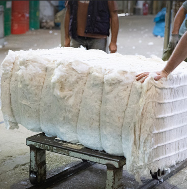
Some High Plains cotton was sprayed with chemicals last week to prepare for harvesting. Some gins have decided not to operate this season because of the small crop.
Futures open interest expanded 8,282 lots Friday to 195,370, with DecemberΆs up 5,256 lots to 125,476 and MarchΆs up 1,647 lots to 54,629. Certificated stocks were unchanged at 11,909 bales.
World values as measured by the Cotlook A Index gained 120 points Monday morning to 92.65 cents. The premium to FridayΆs December futures settlement widened four points to 6.02 cents.